K e n H o c h f e l d
F i n e A r t P h o t o g r a p h y
All Rights Reserved
Ken Hochfeld ©2025
Ken Hochfeld ©2025

Hochfeld "Columbia River and BNSF Railroad Tracks Looking East, Washington"
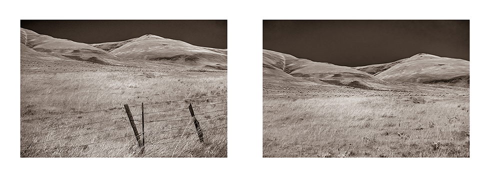
Hochfeld "Golden Hills Near The Eastern End of The Columbia River Gorge, Washington" (Infrared)
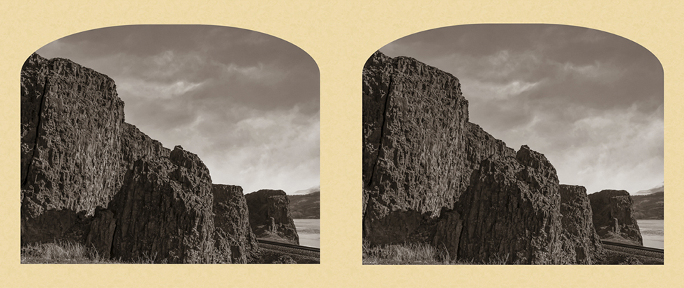
Hochfeld "Columbia River Basalt" (Crossview Stereo)
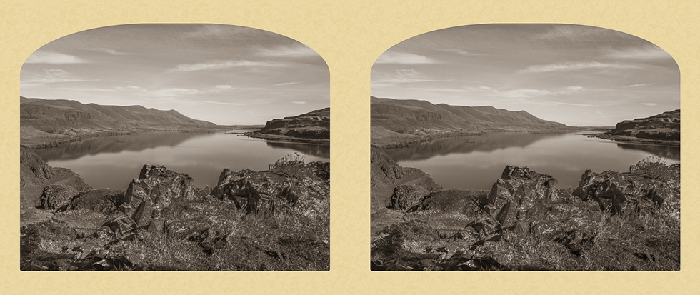
Hochfeld "From Horsethief Butte Looking East, Columbia River Gorge, Washington" (Crossview Stereo)
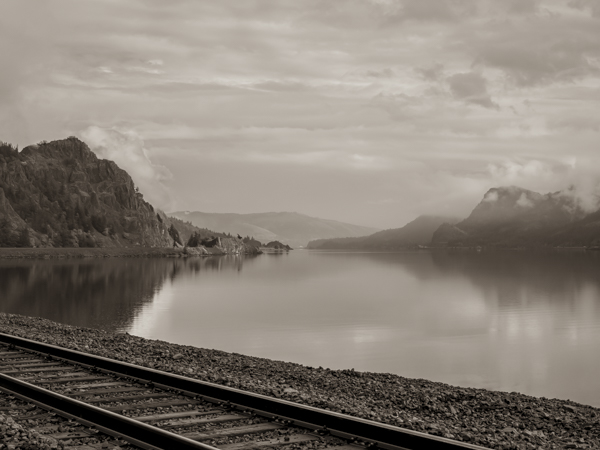
Hochfeld "The Deschutes River Flowing Into the Columbia" (Infrared) 2023
The Deschutes River marks the eastern most boundary in Oregon of the Columbia River Gorge National Scenic Area. The Sandy River marks the Oregon western boundary.
The Deschutes River marks the eastern most boundary in Oregon of the Columbia River Gorge National Scenic Area. The Sandy River marks the Oregon western boundary.
Hochfeld "Columbia River and BNSF Railroad Tracks Looking East, Washington"
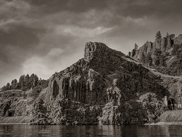
Hochfeld "Columbia River Gorge, Washington Railroad Tunnels 8, 9 and 10" 2022
In 1908 eleven tunnels were built along the north bank of the Columbia River
by the Spokane, Portland & Seattle Railroad.
In 1908 eleven tunnels were built along the north bank of the Columbia River
by the Spokane, Portland & Seattle Railroad.
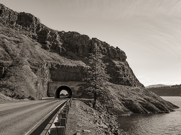
Hochfeld "Tunnel 5"
The Gorge Beckons: Change & Continuity
Friderike Heuer
Ken Hochfeld
Friderike Heuer
Ken Hochfeld